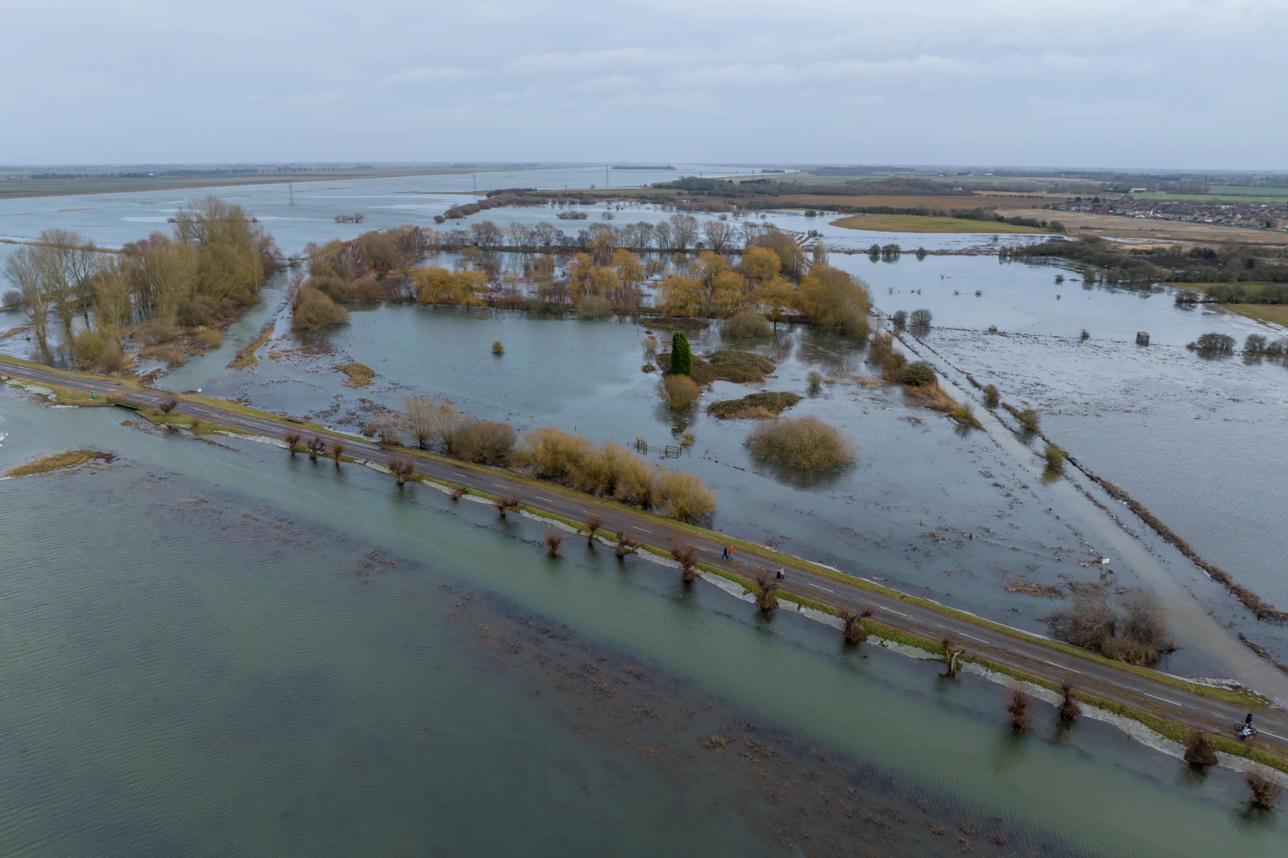
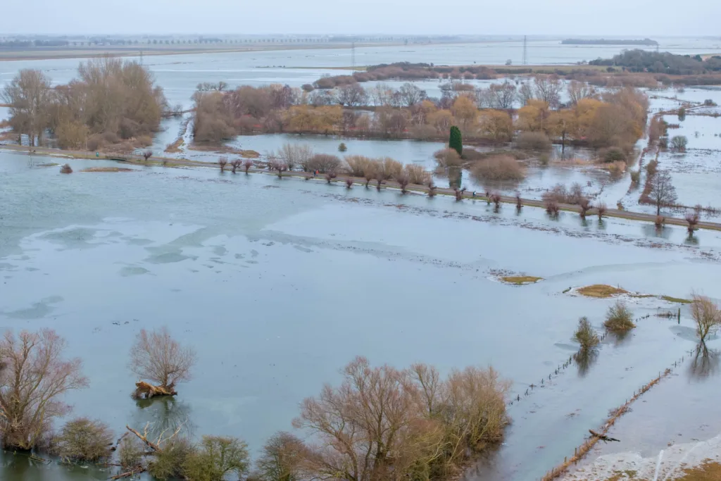
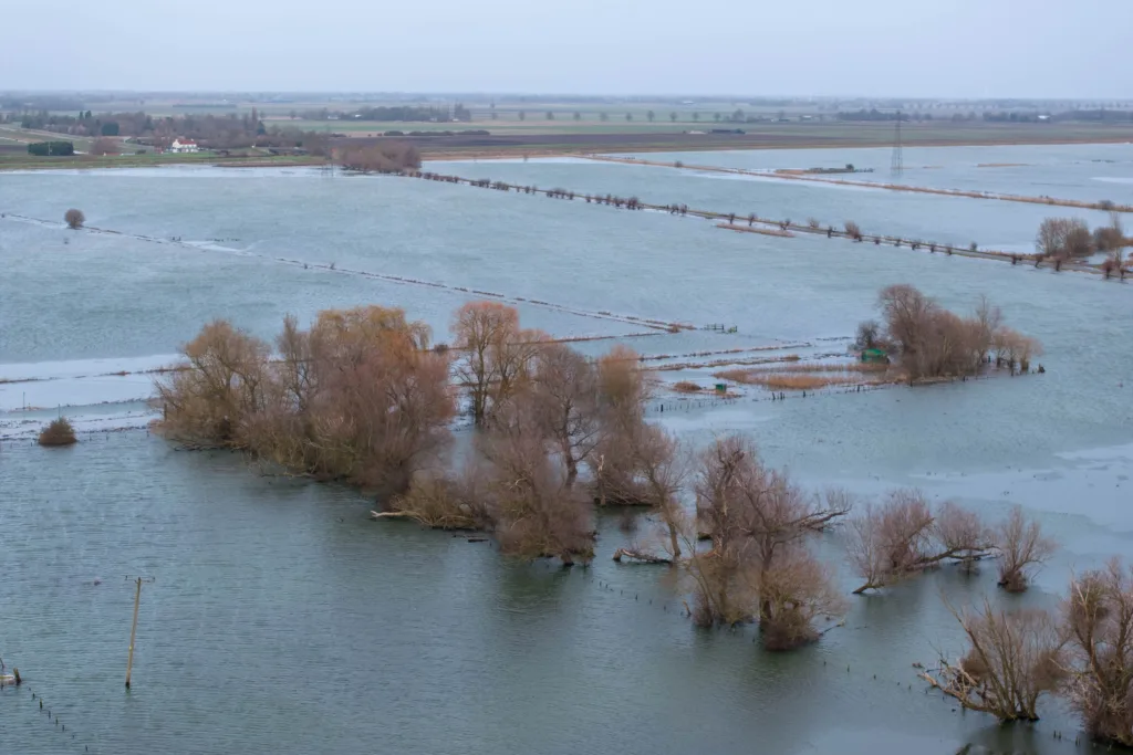
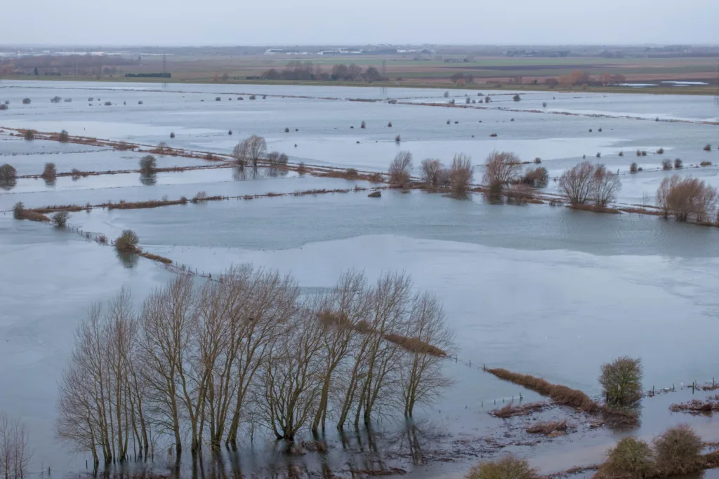
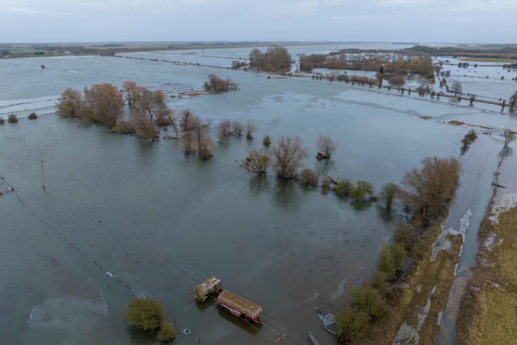
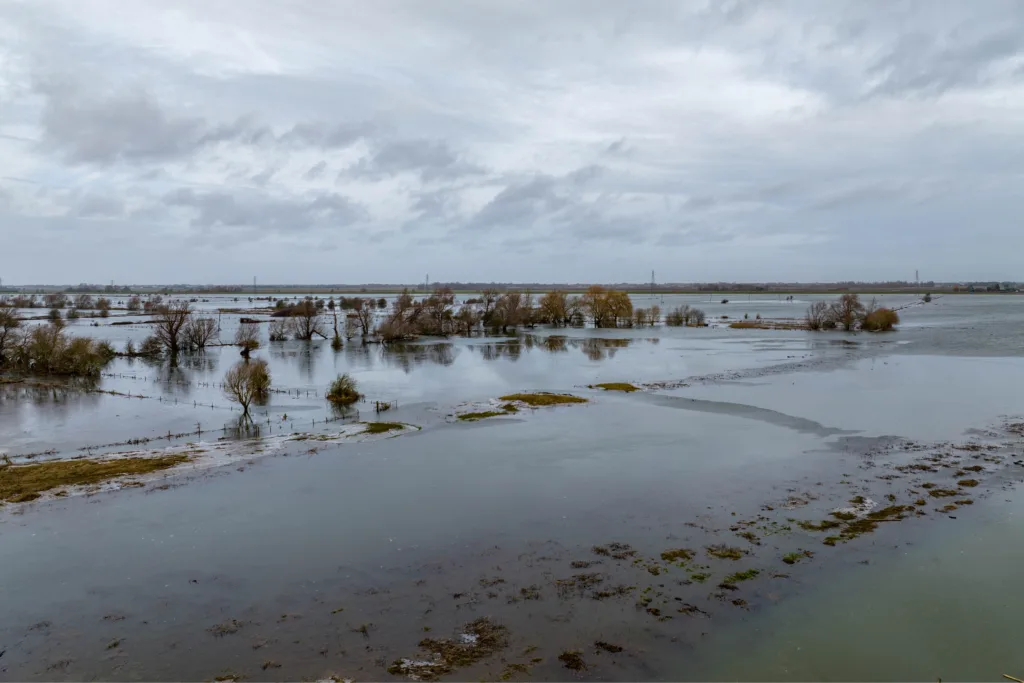
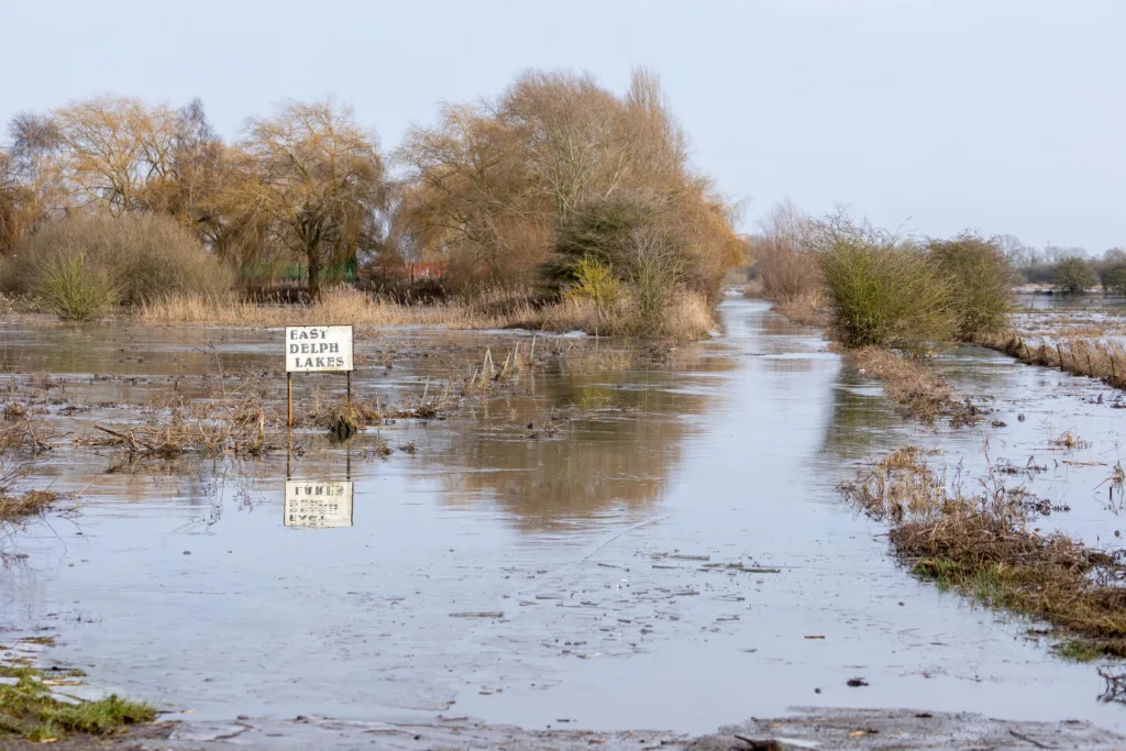
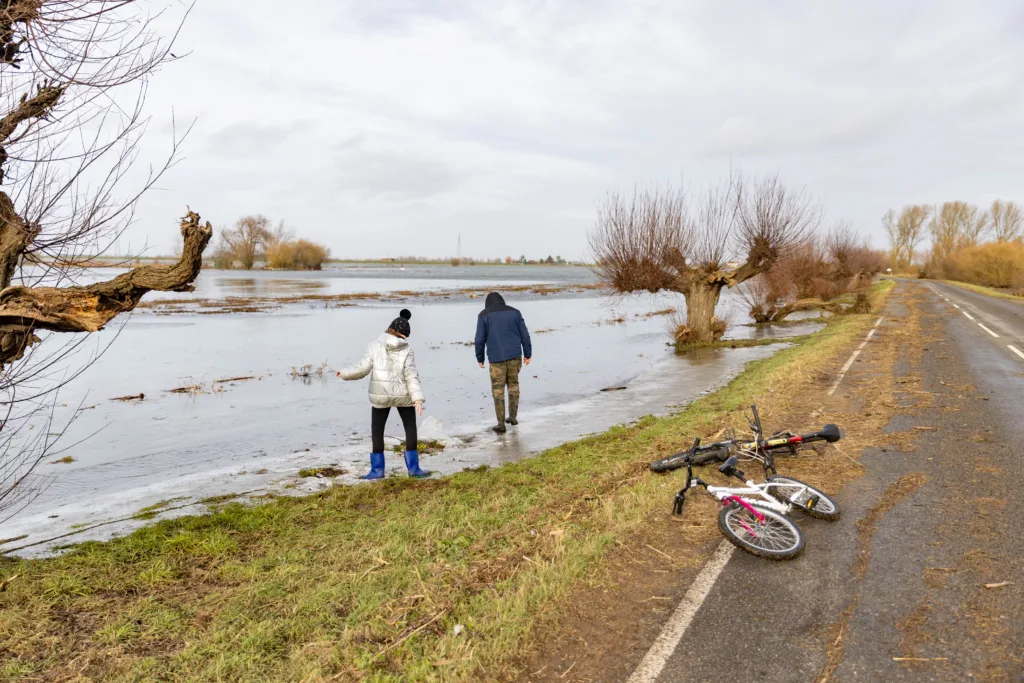
With river levels remaining high, and Storm Isha predicting strong winds for tonight, most people across Cambridgeshire are expected to heed to warnings to stay home or, if driving, stay alert. This afternoon CambsNews flew over the B1040 out of Whittlesey towards Thorney – the road remains closed because of flooding.
It is likely to remain so for some days although motorists heading from Thorney to Peterborough can still access the North Bank.
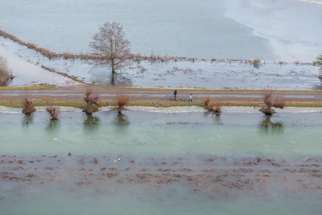
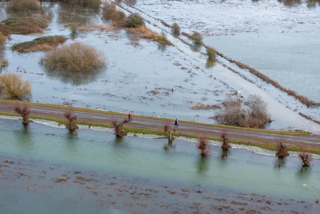
Which means if you are travelling from Fengate to Thorney you should be safe to do so.

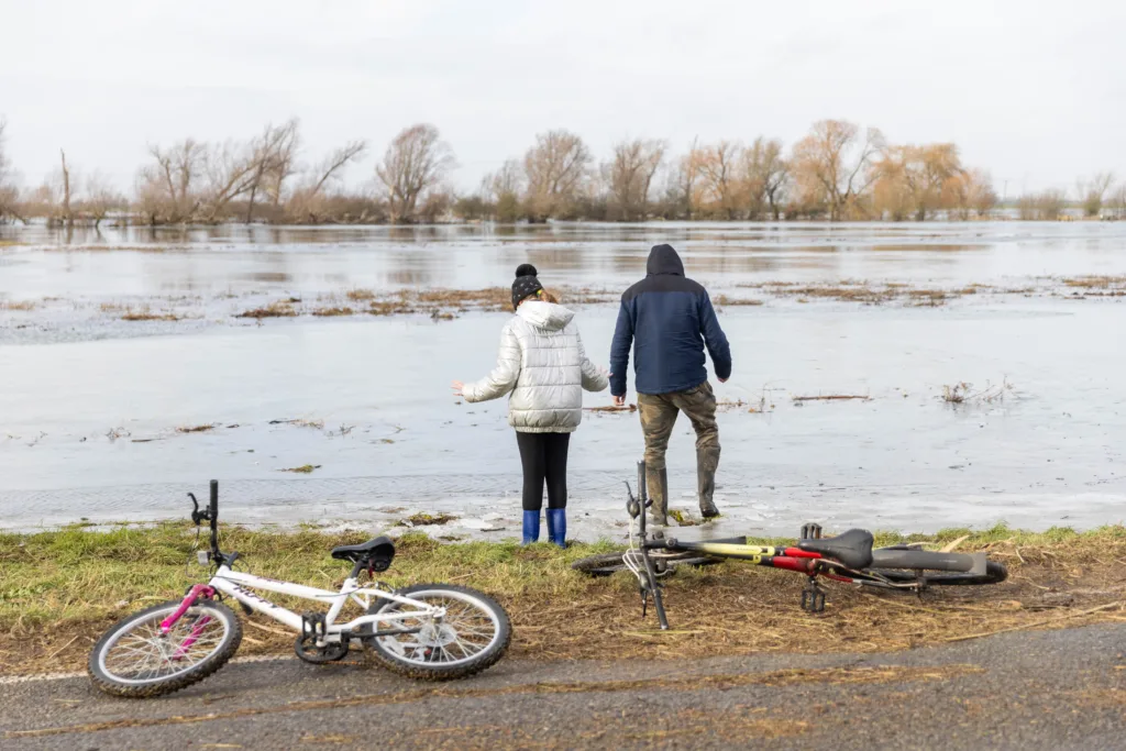
The Environment Agency warned today that river levels at Whittlesey remain high “following a previous period of persistent rainfall in the catchment.

Flood water along the B1040 at Whittlesey as Storm Isha begins to batter Britain. The Environment Agency warned today that river levels at Whittlesey remain high “following a previous period of persistent rainfall in the catchment. PHOTO: Terry Harris“The Whittlesey Wash flood storage reservoir is being operated to protect nearby communities from flooding.”
Their statement adds: “The rising levels in the Wash will result in flooding of the B1040 road.
“Whilst the Flood Warning is in force, the local authority may close the B1040 for safety reasons. We expect the flood warning to be in force for several days.”
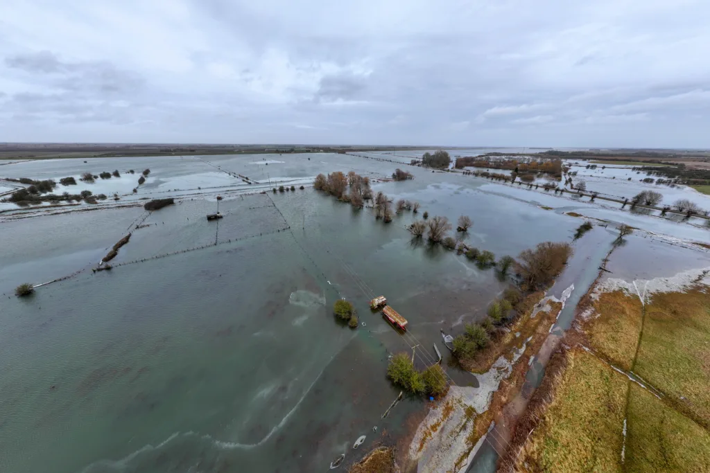
Diversionary routes are in place.


Flood warning area: B1040 Thorney to Whittlesey Road to the South of the River Nene.
The Met Office says amber and yellow severe weather warnings have been issued as a result of Storm Isha.
Picture by Terry Harris.
“Many places are likely to see gusts of 50-60mph, even inland,” says the Met Office. “Near coasts there will be widespread gusts of 60-70mph, possibly reaching 80 mph in a few places.”
Facebook group North Bank Travel Information reminder panel:
No change as of 21/01/24 @ 10.55am
OPEN – North bank/river road is open. You can travel from Fengate to Thorney and vice versa.

CLOSED – B1040/Whittlesey to Thorney/Wash Road.
Picture by Terry Harris.
NO ACCESS from Fengate to Whittlesey or vice versa due to B1040 closure for flooding.
NO ACCESS from Thorney to Whittlesey or vice versa due to B1040 closure