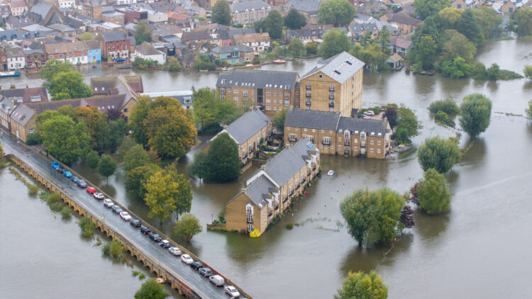
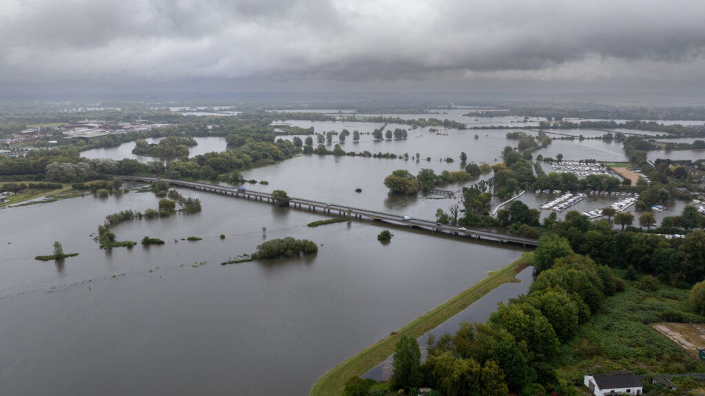
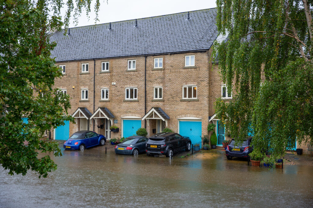
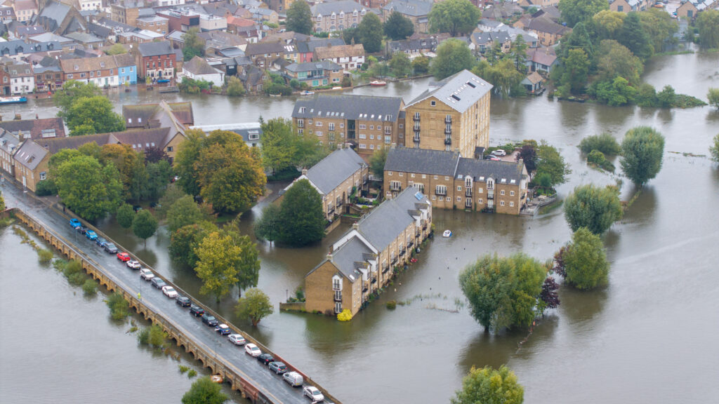
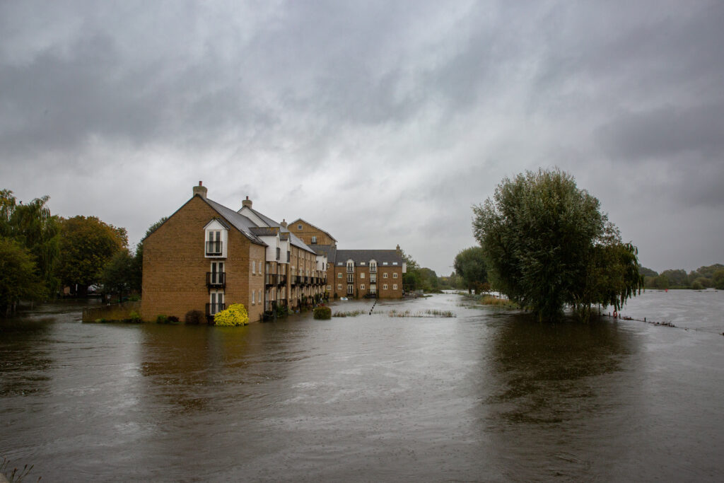
The good news is that at 1.36m the potential flood risk in St Ives is less than on December 25, 2020, when it reached its highest recorded level of 1.52m. But across the Cambridgeshire town many remain angry – and have expressed their views passionately on social media – at simple steps not taken that could have been eased matters.
“If anyone from the council (which ever one it is in charge) cared to have a look at the gullies and drains in town, particularly along The Waits, they’d realise why the town is flooding,” was a typical response.
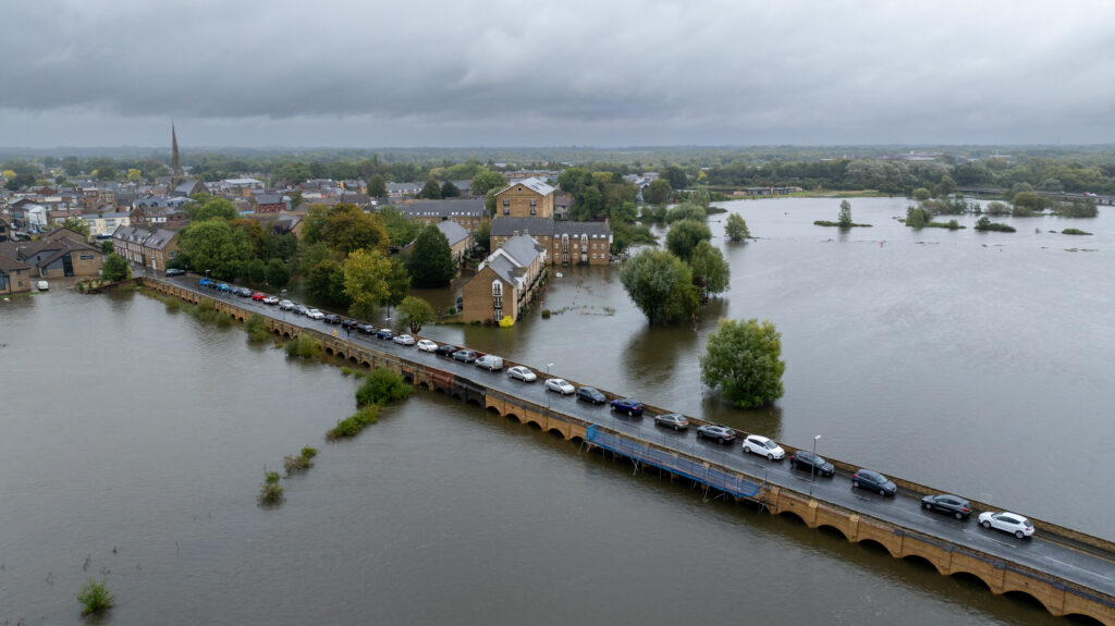
“Not only the drains and gullies but the ditches and slipways are completely devoid of any maintenance.
“It is so obvious that these things need sorting but there is none as blind as them that will not see. “Absolutely shocking negligence. Everyone who gets flooded out should be suing the council.
“They are most definitely in the frame for negligence. Along with the Environment Agency.”
The Environment Agency’s latest information chart for River Great Ouse level at St Ives is there are flood warnings within a five mile radius of their local measuring station.
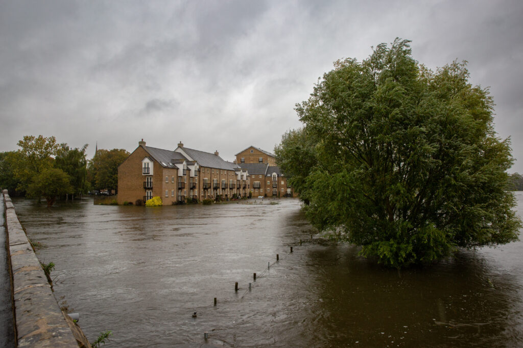
The agency charts for St Ives says at 0.36m this would be top of the normal range and at 0.63m the level is exceeded, and low lying land is possible.
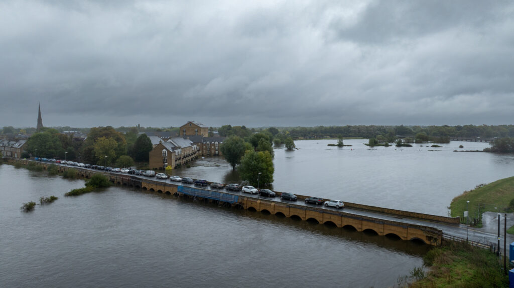
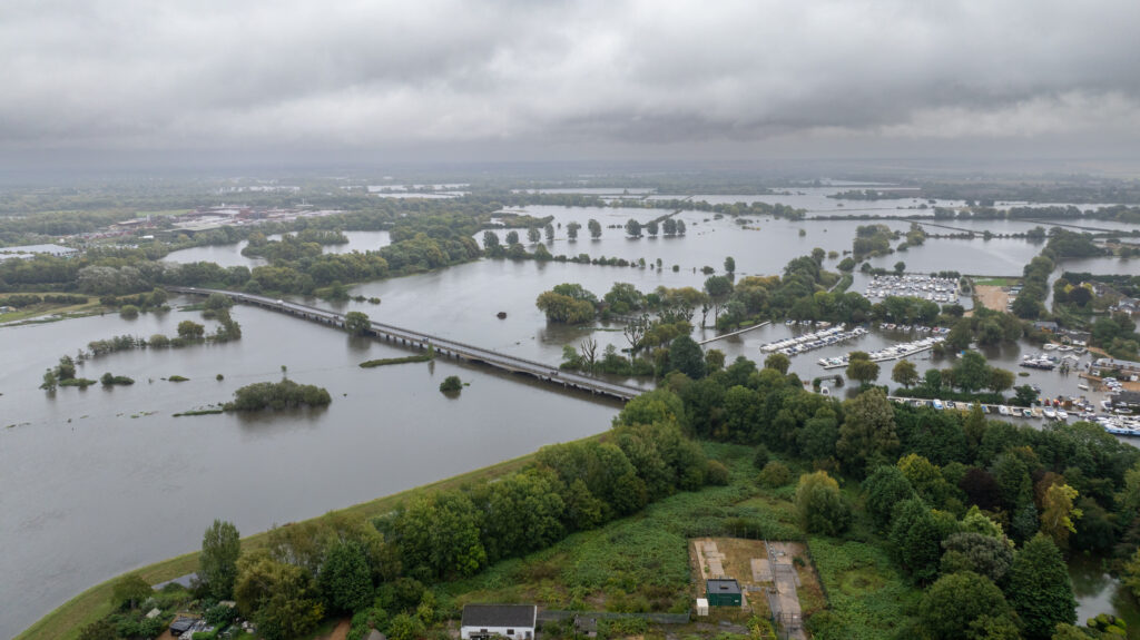
But even at the current 1.36m it is still way short of the 1.58m level where they predict “property flooding is possible above this level”.
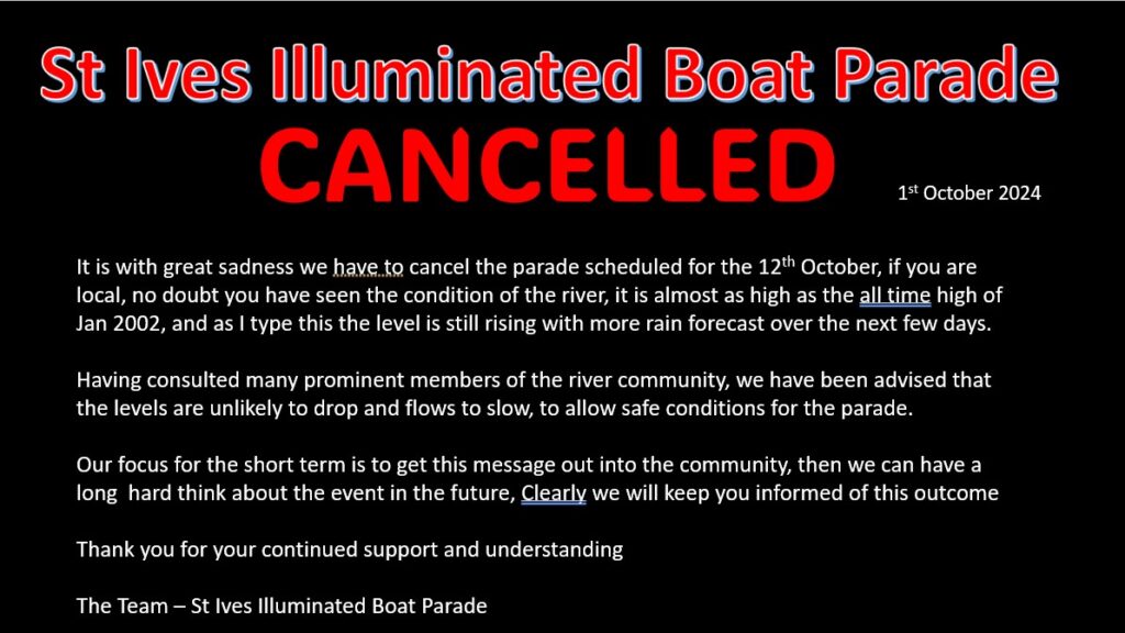
Local MP Ben Obese-Jecty said he had been on Heart Radio Cambridgeshire addressing the ongoing flooding across Huntingdonshire “with parts of Brampton already severely affected and St Ives also impacted.
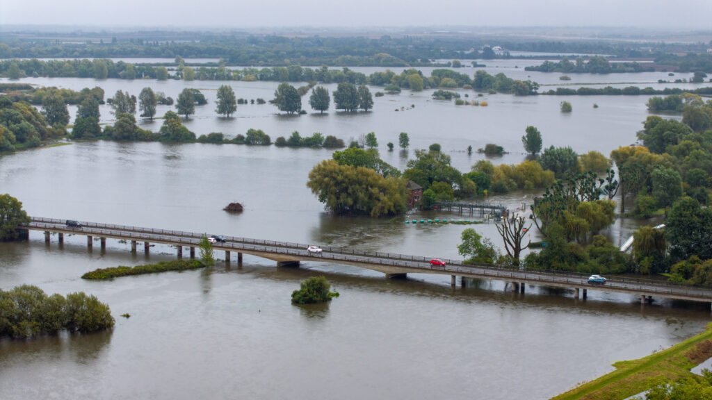
“Given the continued rain, both across Huntingdonshire and upstream, the floodwater is anticipated to continue to be high for several more days and could worsen”.
He urges residents who believe they are at risk of being flooded you can find out more about what action to take on HDC’s website.
https://www.huntingdonshire.gov.uk/news/flood-warnings-and-alerts/
The MP said the Environment Agency had confirmed to him that “rainfall is less than their best case estimate so less impactful than had been feared.
“This flooding has been caused by rainfall from last weekend from Central Bedfordshire and Hitchin (there is a 3-day flow from these areas to Huntingdon).
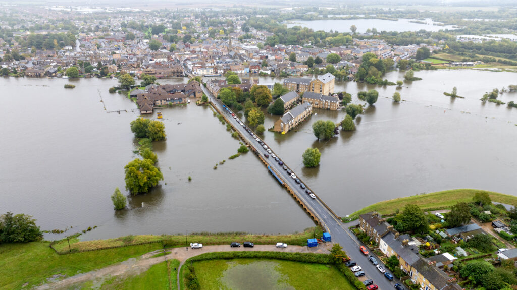
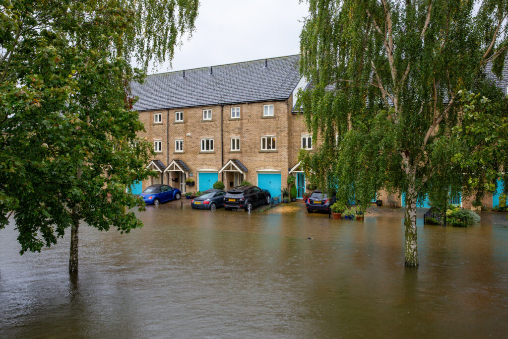
“There are over 400 houses flooded within the Great Ouse catchment which are the Environment Agency’s primary concern”.
He said he had met with the Environment Agency to discuss the best way to tackle local flooding “as well as ensuring we invest in our flood protection and pumping infrastructure”.
Many continue to believe quick practical solutions could help.
“Sort the drains out,” was a typical social media response. “What do we pay our council tax for (rhetorical question) and it increases every year. Let us see something tangible happen.”
Another post said: “The problem of extra high flooding that we have had to deal with recently, is of course partly due to global warming causing the ice caps to melt putting more liquid water into the weather systems.
“What everyone seems to forget though, is the short sightedness of the local council planning department that is responsible for allowing 100’s if not 1000’s of houses to be built on what used to be floodplains.
“Eaton Ford at St. Neots comes to mind, but there are many other locations too. Did they not have the intelligence to understand what the purpose of a floodplain is?
“I suspect they could not care less. It is the same old story of a money grabbing council wanting more and more council tax, as always.”


